Traverse NHDPlus network downstream with diversions NOTE: This algorithm may not scale well in large watersheds. For reference, the lower Mississippi will take over a minute.
get_DD(network, comid, distance = NULL)Arguments
- network
data.frame NHDPlus flowlines including at a minimum: COMID, DnMinorHyd, DnHydroseq, and Hydroseq.
- comid
integer identifier to start navigating from.
- distance
numeric distance in km to limit how many COMIDs are returned. The COMID that exceeds the distance specified is returned. The longest of the diverted paths is used for limiting distance.
Value
integer vector of all COMIDs downstream of the starting COMID
Examples
library(sf)
#> Linking to GEOS 3.13.1, GDAL 3.11.4, PROJ 9.7.0; sf_use_s2() is TRUE
start_COMID <- 11688818

source(system.file("extdata", "sample_flines.R", package = "nhdplusTools"))

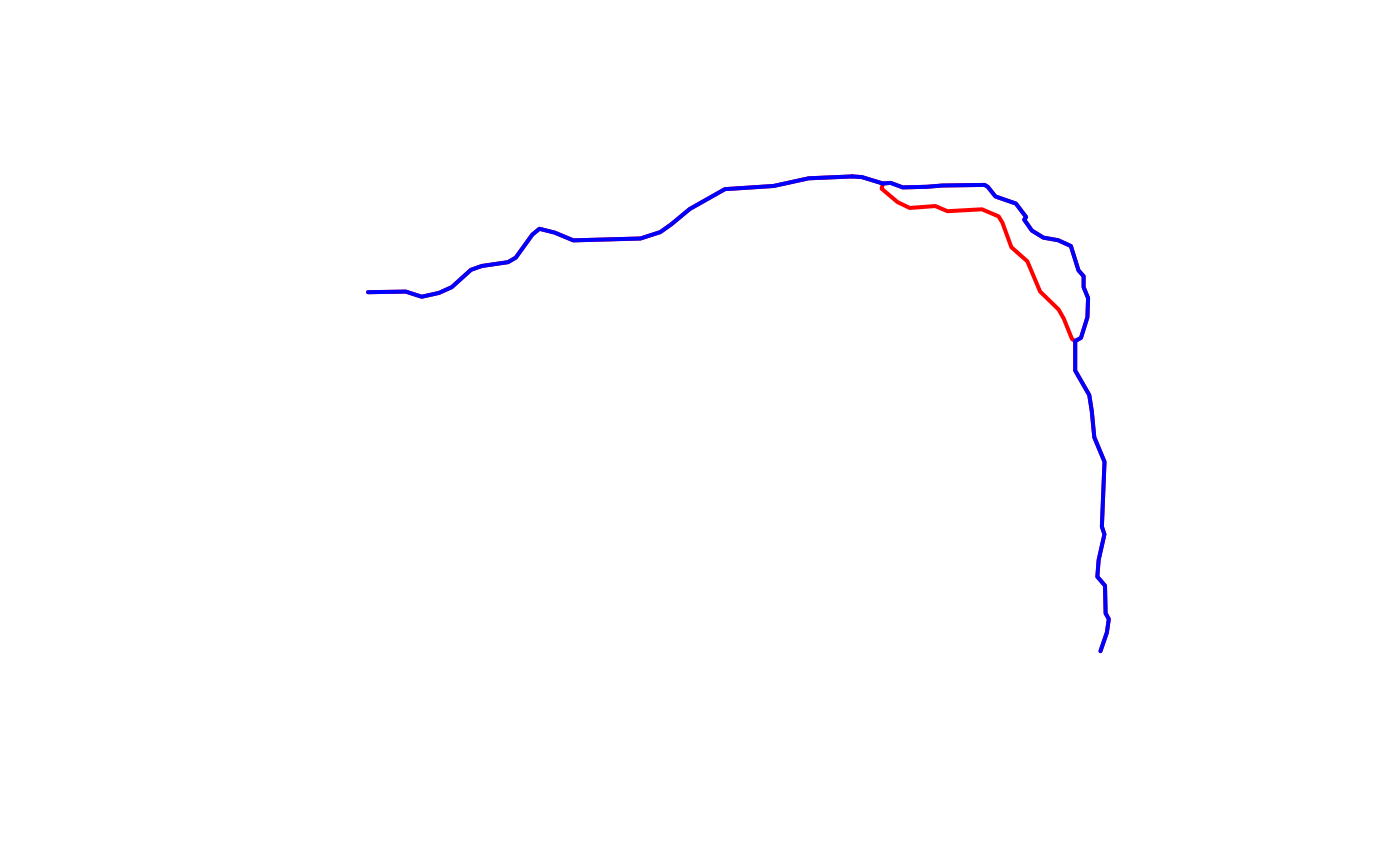
DD_COMIDs <- get_DD(sample_flines, start_COMID, distance = 4)
plot(dplyr::filter(sample_flines, COMID %in% DD_COMIDs)$geom,
     col = "red", lwd = 2)

DM_COMIDs <- get_DM(sample_flines, start_COMID, distance = 4)
plot(dplyr::filter(sample_flines, COMID %in% DM_COMIDs)$geom,
     col = "blue", add = TRUE, lwd = 2)
